The Mediterranean Alps, an unsurpassed territory
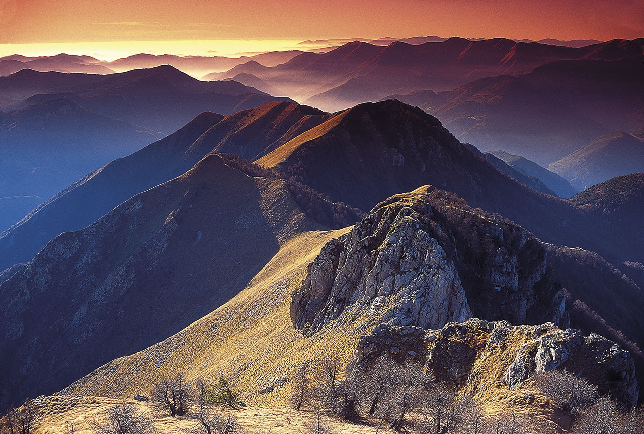
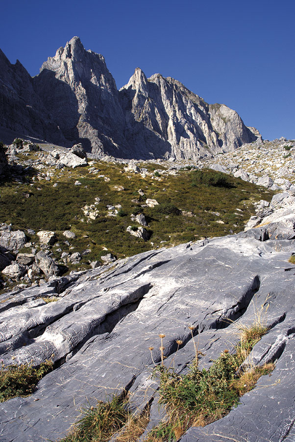
The spectacular dip of the Alps down to the Mediterranean Sea displays its truly remarkable topography, shaped by 400 million years of geological history.
Transverse erosion of the largest European mountain range created spectacular topography and nearly continuous 6,000m of altitude change from the highest peaks in the Argentera-Mercantour, towering above 3,000m, to the abysses of the western Mediterranean, 2,500m below sea level.
Outstanding Universal Value: the basis for UNESCO candidature

To enter the closed circle of listed World Heritage Sites, all candidates must demonstrate their Outstanding Universal Value (OUV). According to UNESCO, OUV is characterised by “natural importance so exceptional it transcends borders and presents the same inestimable character for current and future generations of all humanity.”
OUV is expressed on the basis of various criteria defined by UNESCO to classify properties. Considering their natural assets, the Mediterranean Alps are applying on the basis of Criterion (VIII): Geology.
Consequently the global specificity of the Site is based on its geology.
The Region’s geological origins go back 400 million years; the Site illustrates, clearly and in one place, the formation of two mountain ranges (Variscan and Alpine) with the superposition circa -30 million years ago, by the tectonic phenomenon of the opening of the western Mediterranean Sea. This tectonic phenomenon led to the transverse rupture of a range that was still young, the Western Alps, by opening of an oceanic basin: the western Mediterranean.
Since the advent of “plate tectonics” to explain the evolution ― or history ― of our Planet Earth, geologists have demonstrated that most mountain ranges (1) result from the closure of an ancient ocean and (2) are eroded and gradually disappear to give way to a stable continent, with respect to this general “outline” of how Earth functions.
The Mediterranean Alps represent the site that best exemplifies the rupture of a mountain range still in construction by subsequent opening of an ocean. The transverse rupture of the Alps, whose geological attributes can be observed at sea all along the continental margin of Liguria, followed two successive mountain range construction events (the Variscan and Alpine cycles), whose geological attributes are visible on land.
Thus, the proposed site is also exceptional in that it includes, on a limited surface area at the interface of land and sea, spectacular geological evidence of three successive tectonic cycles known as “Wilson cycles”.
Historical background: a fertile cross-border Nature Property
The UNESCO listing project is the result of over thirty years of cooperation between the Mercantour National Park (France) and Parco Naturale Alpi Marittime (Italy).
An initial project for Mercantour/Alpi Marittime candidature was submitted in 2002 for entry as “Mixed Property” on the tentative list of the French State for UNESCO.
By 2006, the Mercantour and Alpi Marittime Parks worked on setting up a common management structure, after publication of a Common Regulation on European Groupings of Territorial Cooperation (EGTC)
By 2008, a Convention Programme was signed between both Parks, the Monegasque government and Prince Albert II Foundation to support the project’s UNESCO candidature.
In 2013, the “Parc Européen / Parco Europeo Alpi Marittime-Mercantour” was founded. This EGTC aims to facilitate, promote and organise cross-border cooperation and prepare the Property’s candidature for UNESCO World Heritage status.
The “Cross-border Marittime-Mercantour: Alps of the Sea” area was then added as a “Nature Property” to a tentative list for the French and Italian States.
To ensure clarity of the geological processes and succession of ecosystems from the maritime shore to the highest peaks, the project was extended to include Parco Naturale Regionale del Marguareis, Parco Naturale Regionale Alpi Liguri, Area Protetta Giardini Botanici Hanbury (today, only in the buffer area) and nearby Natura 2000 sites under Provincia di Imperia management.
In 2014, the Alpes-Maritimes département joined the project backed by six entities.
At the start of 2015, the proposed Property’s was named “Mediterranean Alps”.
In December 2015, experts on the World Heritage French Properties Committee recommended that the maritime area be integrated in the proposed Property. Extension of the territory of the Property to the maritime area, scientifically validated by the experts in charge of the project, implied integration of the Principality of Monaco for the geological interest of part of its maritime area.
In May 2016, it was decided to maintain only the geological criterion (VIII) to demonstrate its Outstanding Universal Value.
This geological criterion, based on exceptional universal tectonic evolution, led to setting up a cross-border Nature Property made up of a series of both terrestrial and maritime areas in the three States: Monaco, Italy and France.
This includes nearly eighty cross-border communes from the mountains to the coast.
By January 2018, when the dossier is submitted, the prospect of international recognition will bring together all the territory’s players. Such universal geology has no borders.
The integrity of the “Mediterranean Alps” territory

The perimeter was delimited by combining zones of great interest geological (Criterion VIII) with protected areas to propose a territory with a concentration of all the attributes contributing to expressing Outstanding Universal Value (OUV).
The elements necessary for the expression of OUV are evaluated by renowned geologists from all three partner countries.
The “Mediterranean Alps” Property fulfils a Nature Property’s conditions of integrity as set out in the Operational Guidelines for the Implementation of the World Heritage Convention.
The “Mediterranean Alps” Property is proposed in eight series made up of elements that are distinct but interconnected and form a single Property.
Overall, the size and boundaries of the Property’s eight perimeters were selected on the basis of the exceptionality and universality of all or part of the observable geological sites.
Thus, the eight elements are interconnected by clear relationships: geodynamic, tectonic, stratigraphic and geomorphological.
The Property’s boundaries were specifically defined on the basis of their geological value and environmental integrity, as well as their protection and management level. They include all the territories necessary for fully demonstrating their Outstanding Universal Value.
Virtually all the candidate Property is characterised by its high naturality: the Argentera-Mercantour sites (European, National, Regional Parks, N2000), Marguareis-Toraggio (Regional Park and N2000), Daluis (Regional Geological Reserve) and Peïra-Cava (Geosite) are all inhabited mountain areas with very little infrastructure.
In the neighbouring areas of the N2000 Ours-Grammondo, Peille (Geosite) and Grande Corniche (Departmental Park, N2000 and APB) sites, there are few homes and little infrastructure and absolutely no impact from a geological standpoint.
The exceptionality of the geological processes and their continuity justified the integration of a large maritime area (Cap Ferrat-Roya Canyon) encompassing Natura 2000 sites and portions of Marine Protected Areas (RAMOGE zone, PELAGOS Sanctuary) where there is pressure from human activity, but they are no threat for the Geological Property.